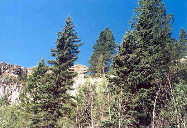
Brownie Canyon
Brownie Canyon branches off Dry Fork Canyon Northwest of Vernal, Utah.
In this canyon there is evidence of Indian and Spanish history.
Some of the evidence is obvious and some is very subtle.
Take a look...
This canyon is named after Mr. Brownie who was seen long ago coming out of
the
canyon with a pack train of horses purported to be loaded down with gold.
 |
Here we are looking up at a rock formation that has an uncanny likeness to a lizard head.
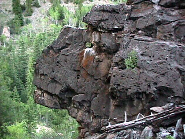 |
Here is the view from it's backside. Does it have an eye?
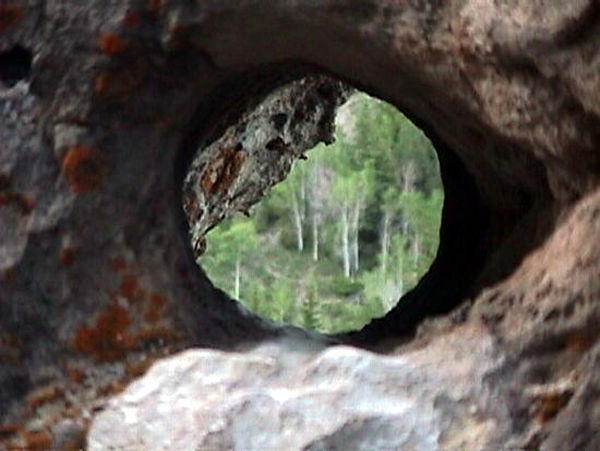 |
It looks like it!
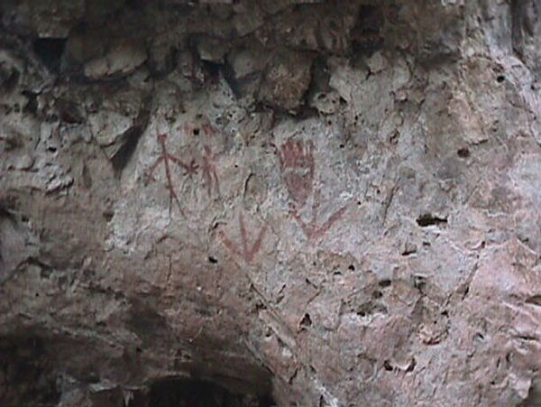 |
Up the canyon a distance there is a large boulder beside the road with painted
rock art on it.
Most people drive right past this rock and never realize there are symbols
on it.
This boulder is just above the crossing of the stream where Brownie's cabin
was.
My dad believes the symbols on this rock represent a map.
What are your ideas?
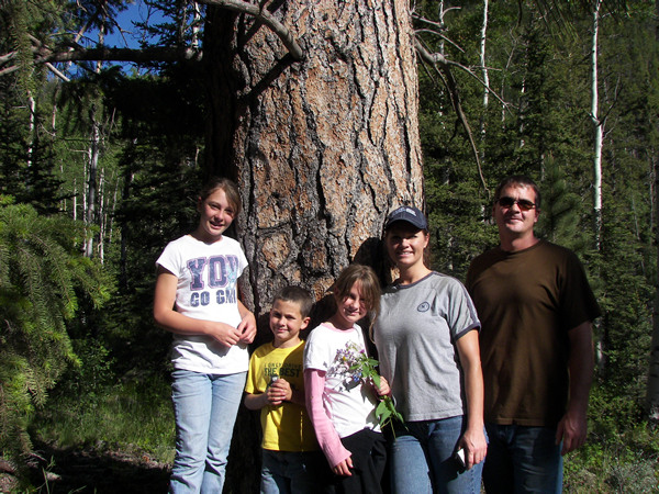 |
A short distance further on is this large pine tree with a directional marker
on it.
Shown here are my nephew Wyat, wife April, and their children.
They helped me locate this tree again in 2009 when I didn't have my GPS info
with me.
Here it is for you: 40° 38.902' N. 109° 45.843'
W. elevation 8051 feet. (NAD 27)
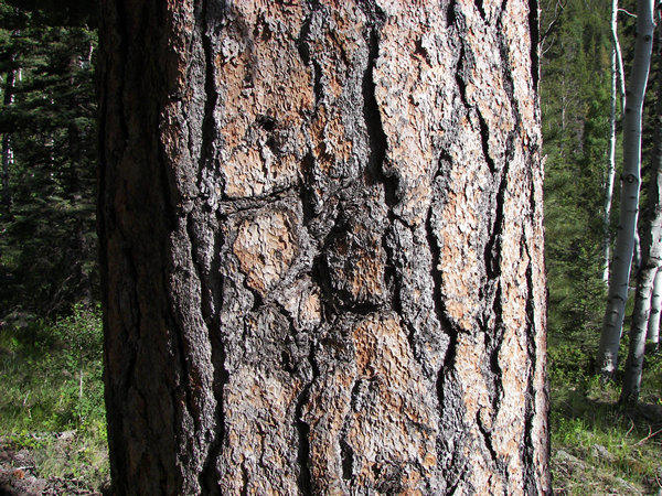 |
Here is a close-up of the direction symbol. Go ahead and follow the pointer
arm up and to the right and see where it leads you.
In the area you may find the large depression on the far side of the canyon
which appears to have been an old placer mine.
Also near here is the hole my family dug and once had claims on.
Take a look around. You may find things we didn't.
What other secrets does this canyon hold?
To see another picture of this tree go to:
Markers and Symbols page 2.