The Old Spanish Trail in 5 Mile Canyon
For a moment I'd like to ask you to consider the "Old Spanish Trail"
in a new light.
Think of it not as a main and only trail in to rugged Utah and beyond, instead
think of it
as a main trunk with smaller and smaller branches veering off from it in different
directions
leading to camp sites, watering holes, hunting grounds, mines, etc.
On June 8th 2011 a friend and I followed a short section of one of these branches.
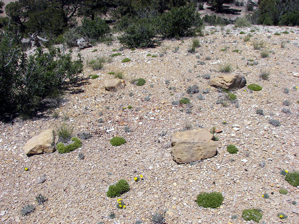 |
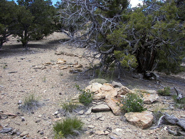
The first thing we observed were four rocks laid out in diamond shape.
My friend pointed out how the two rocks across from each other directed
the traveler to the left for a fresh taste of water at the spring. The two
points from
bottom to top point one in the direction of their campsite and to other information.
 |
 |
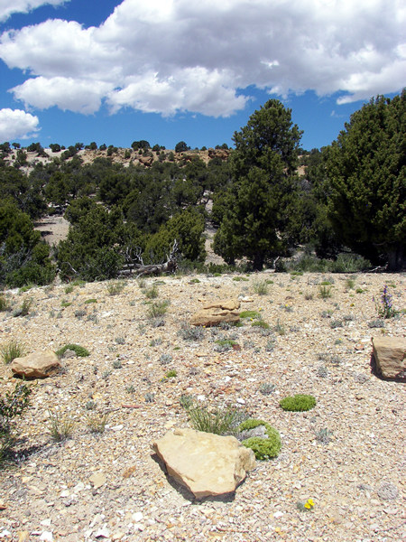
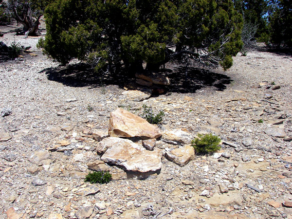
The Spanish camped among these boulders as they rested and worked the nearby mines.
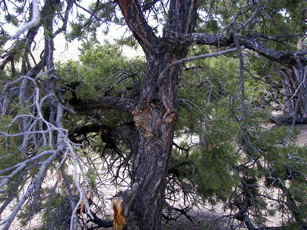 |
We saw markers made of rock and wood.
 |
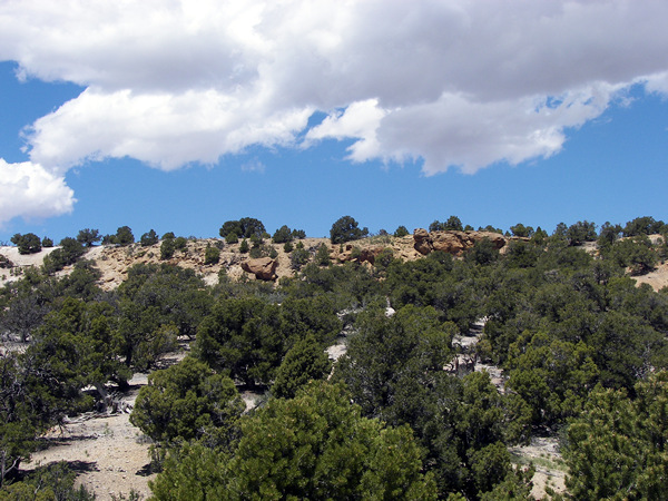
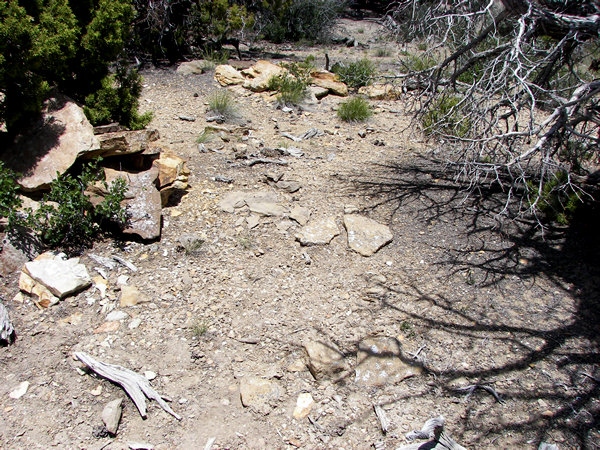
Near the top of the hill were monuments leading two directions;
one set led up to the top where the next important landmark can
be seen, the other led around the hill on the main trail.
 |
There were many markers and most appear undisturbed.
 |
This view crosscuts the trail which runs from right to left up the hill.
There are two small lines of rocks running parallel with the trail in the
lower half of this picture.
We checked these markers and found that both of us got hits with our equipment.
Under both lines of stone there is gold, whether raw or refined is unknown,
but was probably reserved as a cache to help finance their expeditions.
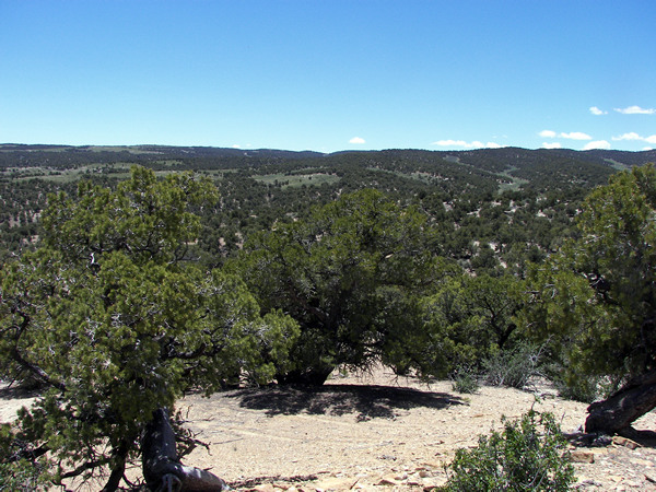 |
This is the view from the hilltop. On the horizon one can see the next
pass and only they knew how many mines lay beyond on the trail to wealth.
Page created 6/14/11.