Taylor Mountain and its Spanish History
-- Page 2--
Kaler Hollow and Brush Creek have many stories associated with them.
In fact Gale Rhoades once told me that Caleb's mines spanned from Brush Creek
on the east to Hoyt's Peak on the west.
Many of you I'm sure have visited the large cave in Big Brush Creek Canyon
and enjoyed its coolness and large ice-cycle
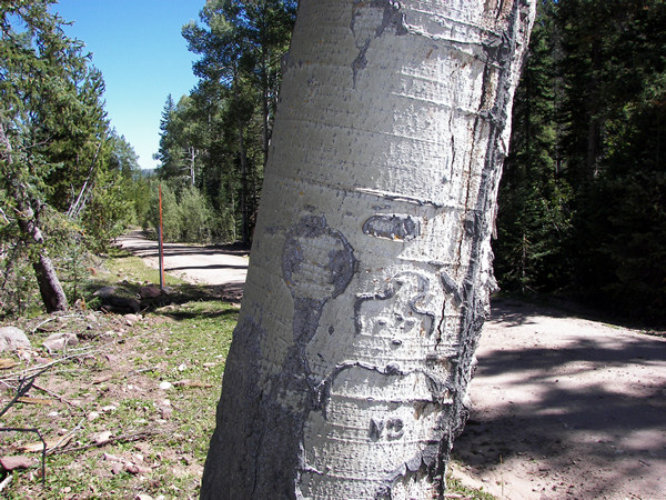 |
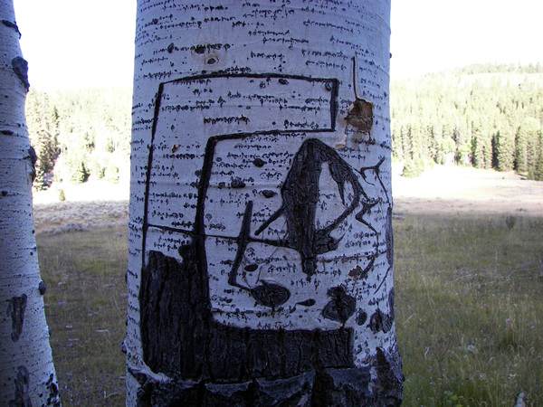
It's believed the bust seen above is a map of the area and legend
tells of three mines in this area, thus the three dots on his chest.
Map tree: 40° 42.037' N. 109° 36.736' W. elevation
8625 feet.
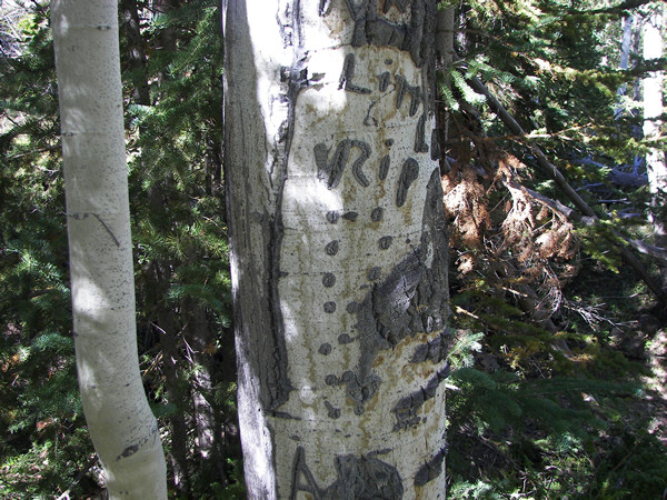
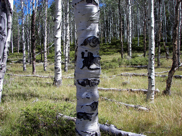
And could the dots on the next tree represent the distance to
one of the mines?
We call it the peg tree and the peg points up the hill to the south. It's
at:
40° 41.983' N. 109° 36.193' W. elevation 9009
feet.
 |
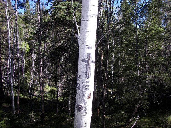 |
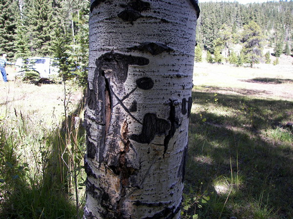
Here are some more symbols we saw during our exploring.
What do you think they mean?
 |
 |
 |
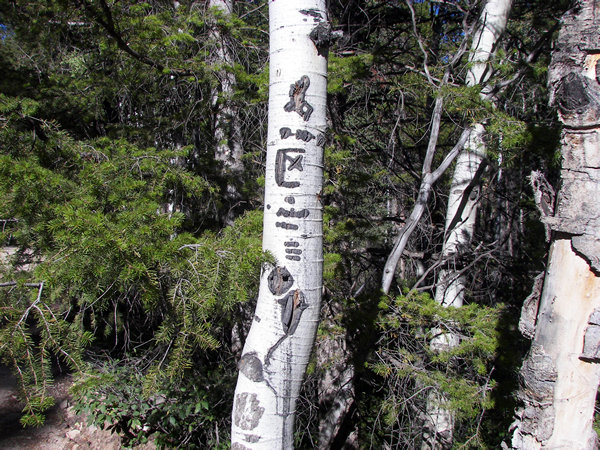
There are so many symbols to decipher even though many
of the symbols my friend saw about fifteen years ago are gone.
 |
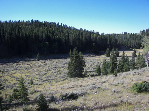 |
It's my understanding that the mining community of Bullionville was in this
mountain meadow at:
40° 42.206' N. 109° 34.250' W. elevation 8927
feet.
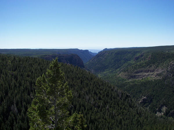 |
This is the breathtaking view of Ashley Gorge at an overlook near Grasshopper
Flat.
Just north of Grasshopper Flat on Taylor Mountain is where my grandfather
Andy Atwood used to herd sheep.
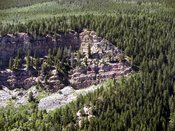 |
Looking west from that same spot you can see a rocky ledge, seen here as
a close-up.
Larry Hacking (now deceased) told me a story once of looking west at the ledge
and watching
the lightning shrike the top of the ledge, in the same place, eleven times
during a storm.
I just wonder if something was attracting the lightning???
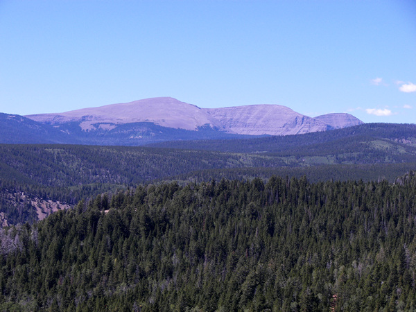 |
A little to the northwest is the beautiful Marsh Peak with Leidy Peak behind.
Someday maybe I will hike up there and see which mines I can find,
but we're out of time today.