Diamond Fork Canyon
This canyon is a few miles East of Spanish Fork, Utah.
Both the canyon and the city were named for the Spanish influence in the early
history of Utah.
Years ago Gale Rhoades told me about a mine in Diamond Fork canyon which
he had found.
I spent a fair amount of time searching for it without success until I met
someone who had been there. He informed me of its exact location.
Here are some photos of that mine which was first spotted from across a small
canyon.
Gale also informed me that his father had once found another mine
somewhere higher on the hill which he wasn't able to relocate.
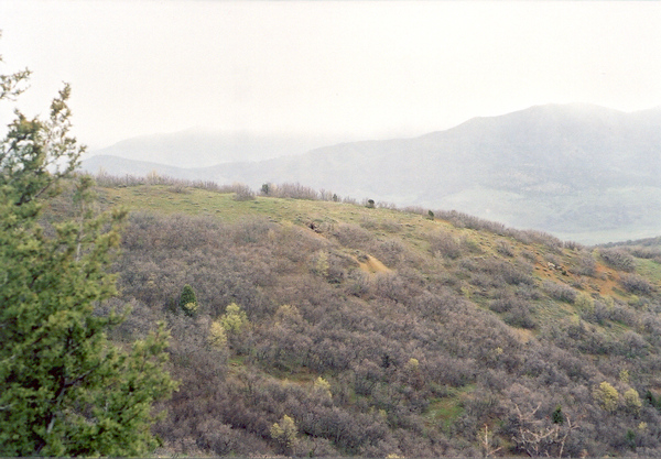 |
Here is a photo looking East across a small canyon at the mine Gale found.
In his original book he states he found an ox yoke and a horse skull with
a bullet hole through it.
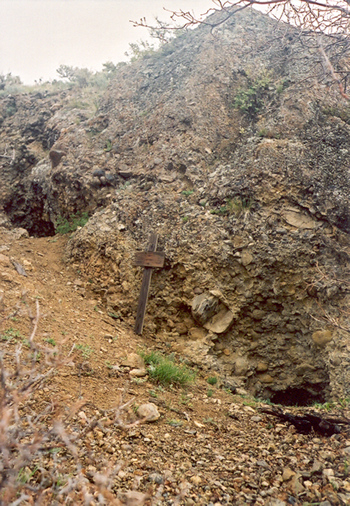 |
Upon closer inspection I noticed there are two entrances.
I didn't enter this mine because I was by myself.
I've been told that both tunnels join just a short distance inside.
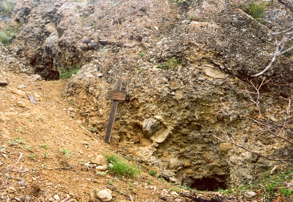 |
Gale Rhoades said this is an old Spanish mine.
I have removed the GPS cords to this mine from my website as requested by
the Childs family
because it's located on their property and people have been digging in it
without permission.
 |
This canyon holds other mysteries too.
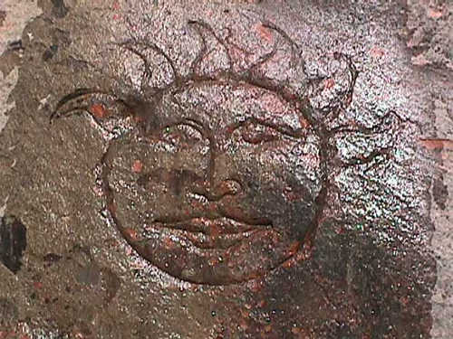 |
This is a sun symbol in Diamond Fork canyon.
No one seems to know just how old it is. |
This sun symbol is up high on the east side of a draw which is north of the
road.
It's at: 40° 4.859' N. 111° 24.126' W. elevation
5362 feet. (Updated 5/4/09)
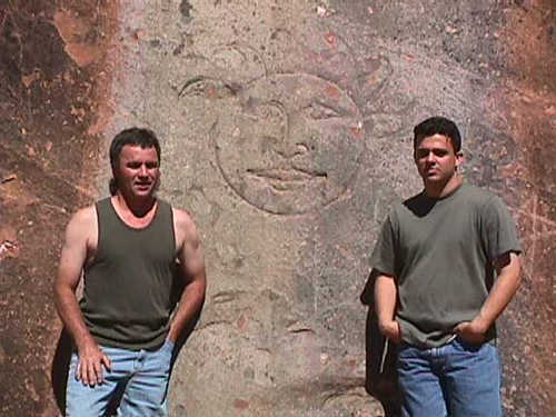 |
Allan Lowe and my son Del Ray Bascom. (On July 24th, 2001)
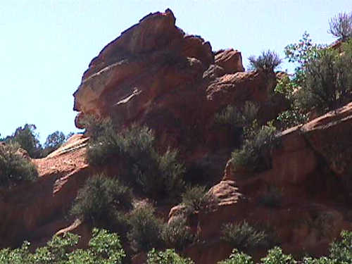 |
Some people say if you look close and use your imagination
you can see the profile of an Indian face in these rocks.
It faces left and has a full flowing headdress.
(Hint: ignore the bottom lump.)
If you want to see the outline you may place the cursor over the image.
(Graphics courtesy of Del Ray Bascom.)
Across the river to the south are other symbols like this 9 inch tall cross.
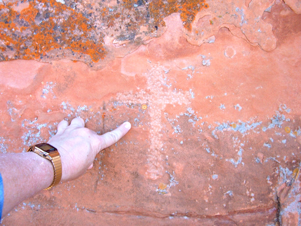 |
This cross is on the face of a cliff on the south side of the stream.
It's at: 40° 04.677' N. 111° 24.106' W. elevation
5356 feet.
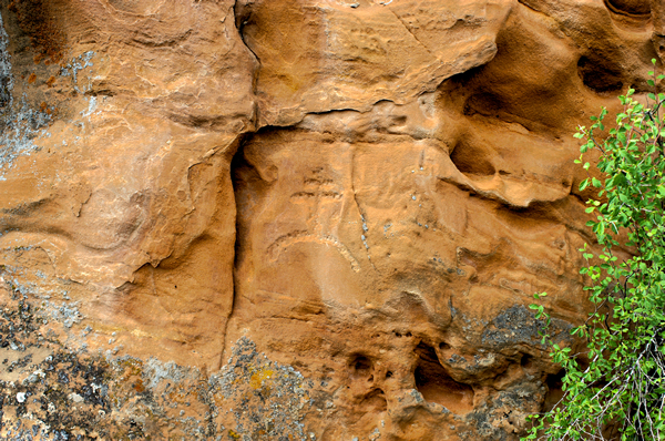 |
Thanks to a friend of mine Marshall Smith for taking this picture for me.
It appears to be a double cross on a hilltop and is near the last cross.
Updated last on 8/12/11.