-- Page 2--
Daniels Canyon just southeast of Heber City on US Highway 40 still holds plenty of secrets.
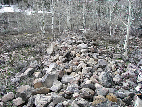 |
Many of you may already know about the rock fence at the head of Daniels
Canyon,
but for any who may have never seen it, here are a couple of pictures to help.
It's located at: 40° 18.346' N. 111° 15.431'
W. elevation 8024 feet.
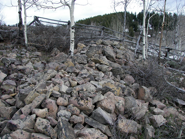 |
Who made this rock fence is almost anyone's guess.
A short distance down the canyon on the same side of the
highway is something else I have been looking for.
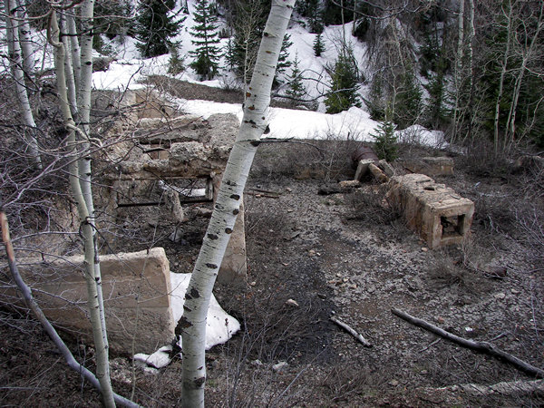 |
For years a couple of my friends have told me about the Bethers and Boren
mines
said to be near the summit in Daniels Canyon. But, not knowing which side
canyon to
explore, I was never able to find them until May 15, 2008. Here are some pictures
I took.
As you can see they are modern mines which were worked in the early 1900's.
However, it is said that the original tunnels were made by the Spanish.
(I was recently informed that what you are looking at
were wax mines.
If that is the case then I don't know which mines are the Bethers and
Boren mines described by George Thompson and others.)
 |
The photo above was taken while standing on the lower mine dump.
As you can see it has caved in for some distance up the hill.
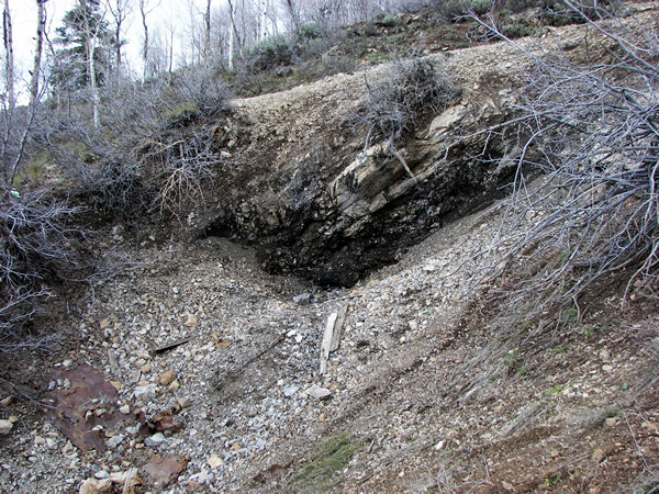 |
This is what the upper tunnel looks like.
They both appear to be closed and would probably take extensive work to reopen.
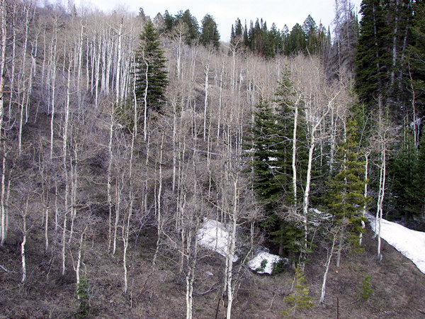 |
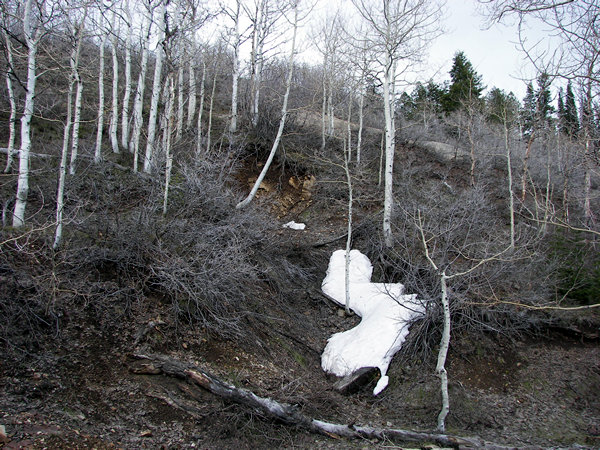
From the highway you can scarcely perceive the dumps.
As I checked on these mines again on August 1st, 2008 I could no longer see
the mine
dumps from the road because of the seasonal vegetation changes. That said,
they can still
be found in the second canyon from the top on the east side. Here are the
coordinates
for those who are interested: 40° 18.690' N. 111°
15.301' W. elevation 7886 feet.
(page created 5-15-08)