Paradise Park, just North of Mosby Mountain, is an area of rich Spanish history.
However because so much has been lost through timbering, etc. it's
difficult to follow things through to their conclusion.
While following directions on an old map we found several landmarks shown
on it and even a couple of mines but not the one we were seeking.
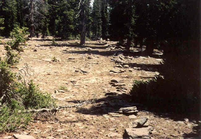 |
This is the very old trail we followed.
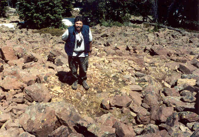 |
This is Ken standing on a small, but definite, mine dump.
It's at: 40° 40' 14.8" N. 109° 57' 0.4"
W.
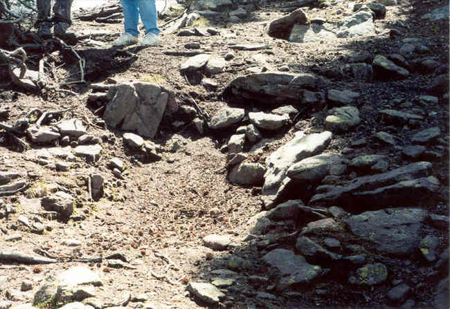 |
Both of these mines were found not far from the trail.
This one is at: 40° 40' 8.7" N. 109° 56'
56.4" W.
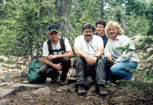 |
This photo shows Ken, Jerry Ann, Burkley and Blake at
the end of an old Spanish trail near Paradise Park.
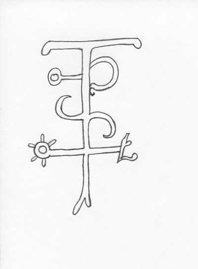
Many old and very ornate Spanish symbols adorned the trees
in this area back in 1939. The biggest and oldest pine trees in this
area were timbered in 1940 and with them went much of our heritage.
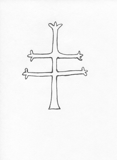
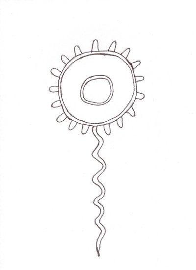
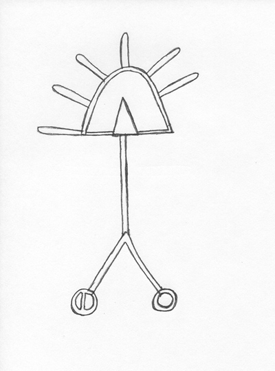
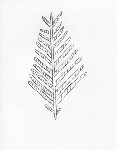
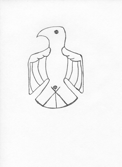
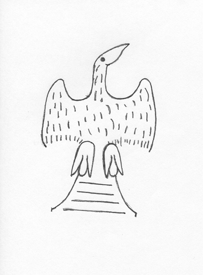
Here are a select few drawings of the many symbols located and
photographed in 1939. They are close copies of the original photographs.
I apologize for not showing you the original photographs, but I wasn't permitted.
These might be enough to whet your appetite and encourage you to ponder,
as they do me. I hope you enjoy them.
 |
 |
 |
 |
 |
 |
 |
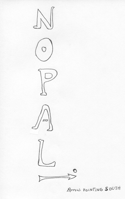 |
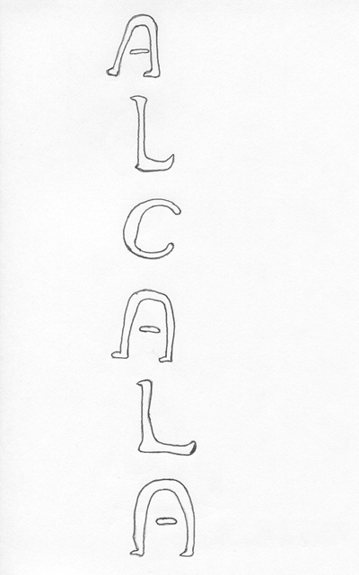
Alcala = Last name or check point. Nopal = Cactus?
|
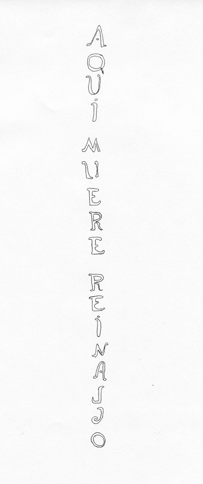
e r e
D i e d
R e i n a l d o |
 |
And last but not least, a couple of my favorites.
 |
 |
Note: The mine we were looking for on Paradise Peak is discussed at length in my book.