-- Page 3--
On July 26th 2008 my daughter Stacey and my son-in-law Blair took a hike
with me.
We walked around the hill from the Dry Fork cemetery to the sand hill where
we like to
look for Native American arrowheads and other indicators that show they were
here.
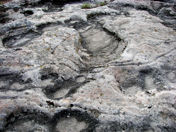
We had just looked again at the lines on the rocks shown on page
1 and had hiked a short
distance northeast of those when we stumbled upon these lines. We hadn't seen
these before
and they were quite a treat for us. We don't know for certain what the lines
mean but I think
they represent a map. They are defiantly man-made. Take a look and see what
you think.
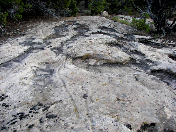 |
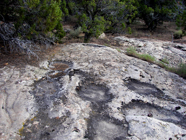
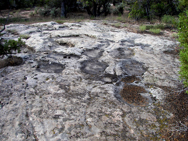
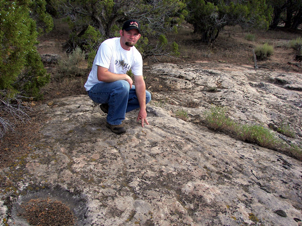
The first two pictures were taken looking north while the next one is looking south.
 |
The slab of rock is higher on the north end and could represent a higher elevation for the area this depicts.
 |
The lines appear to be very old and man-made but it's
more difficult to determine if the large indentations are also man-made.
 |
 |
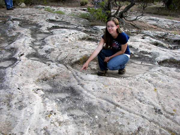 |
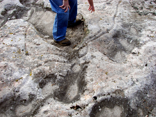
In these pictures, with my daughter and son-in-law, you can get an accurate feel for the scale of the lines.
 |
If you decide to see these lines for yourself you will need to look on the
sandy
ridge which is about half way between the cemetery and McConkie's
Ranch.
The lines are at: 40° 33.277' N. 109° 38.883' W. elevation 6402 feet (NAD 27).
(Pictures taken 7/26/08)
(Page created 2/25/09)